


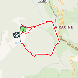

28 km | 41 km-effort

Utilisateur


Application GPS de randonnée GRATUITE
 SityTrail
IGN / Instituts géographiques
SityTrail World
Le monde est à vous
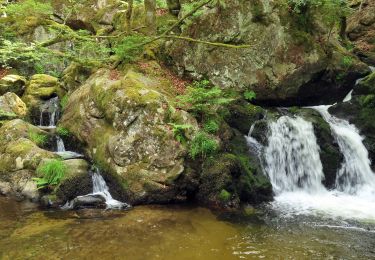
Randonnée Marche de 3,3 km à découvrir à Grand Est, Vosges, Le Tholy. Cette randonnée est proposée par Fred Jspd.


Randonnée équestre
Randonnée équestre
Randonnée équestre

Marche

Marche
Marche

Marche
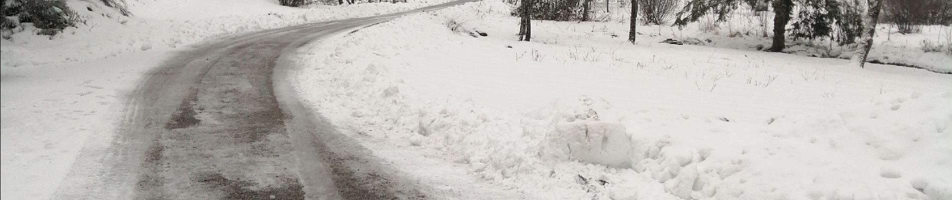
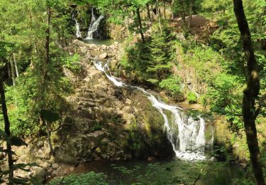
Rando en milieu boisé très agréable, accès au trou de l’enfer génial mais déçu par le point de chute, peut être lié à la sécheresse, dommage. Merci